Trawling through the internet has become a bonafide hobby during lockdown and it was during one of these extended ‘surfing’ sessions that I uncovered a map of the Manchester Metrolink from 2040.
No, someone hasn’t gone to the future and taken a picture of the Metrolink map at a station, it is in fact an unofficial proposed expansion network for the current system and I must profess – it looks pretty decent.
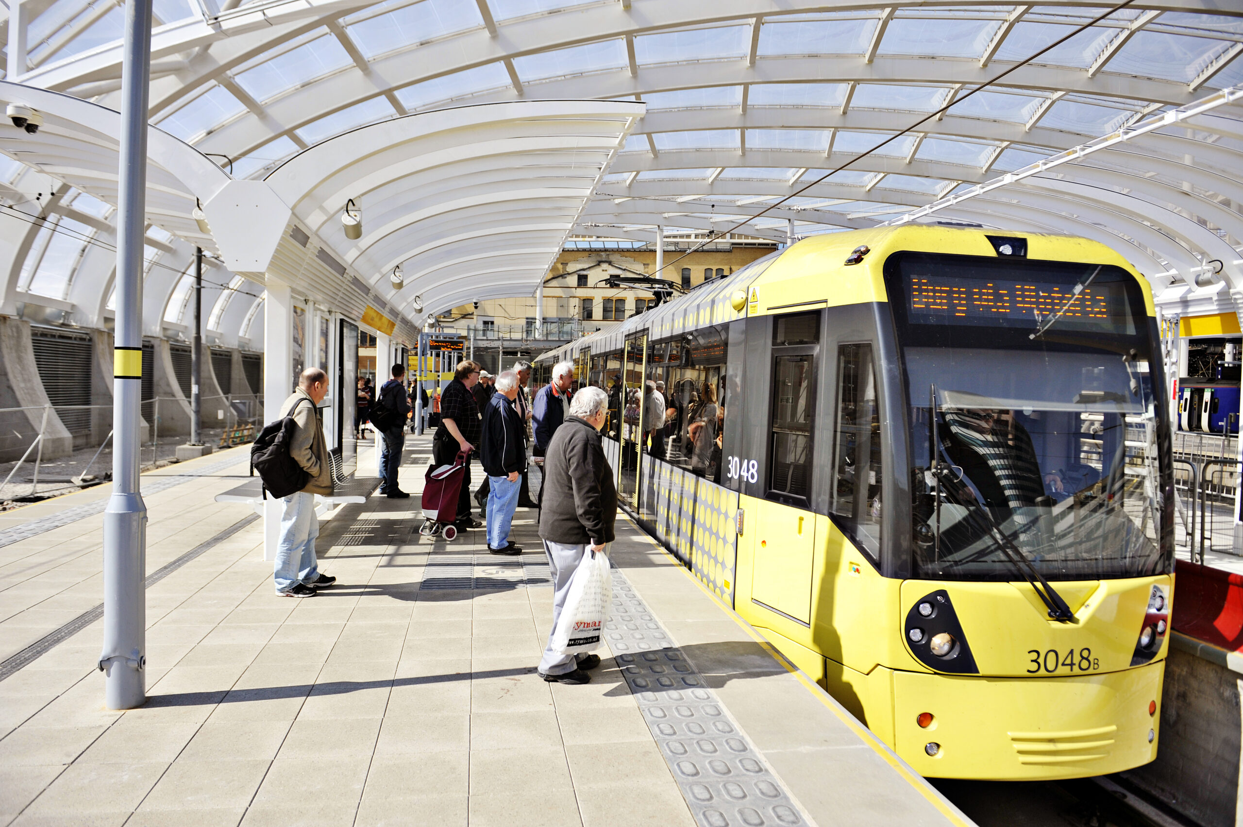
Since being launched back in 1992, the Metrolink has gone on to become the largest local transport network in the UK (after the London Underground of course) – carrying over 43.7 million passengers a year.

The 2040 Metrolink Map // Click to enlarge
Unlike the London transport network, the Metrolink is entirely subsidised without government intervention, meaning that unfortunately this results in it being expensive, famously unreliable and a little bit sketchy after hours on a Friday night.
Hopes of future improvements and capital investment are always being thrown around, and with current COVID-19 restrictions throughout the region for most of the year, Transport for Greater Manchester have received ‘bailout’ funds from the government to keep the trams running, and in a bid to save money they’ve stopped single tickets and even turned off the free WiFi onboard.

Plans are still afoot for future expansion of the system, with frequent announcements being made regarding lines into Stockport and Middleton, with government promises of ‘Northern Gateways’ and ‘Powerhouses’ getting thrown about willy nilly.
There’s also the proposed HS2 line incoming over the next decade or so which will actually be underground for it’s final journey into the city – travelling under the areas of South Manchester on its way into Piccadilly.

So, despite COVID-19 setbacks this year, there are still plans to increase the network and improve the service – hopefully taking in more and more of the city’s suburbs and towns as the centre grows outward.
Will the Metrolink map look like this in 2040? Who knows – but hopefully it’ll be something akin to this – and grow as the city’s demand grows too.
……………………………………
The map was produced by Aidan Doherty